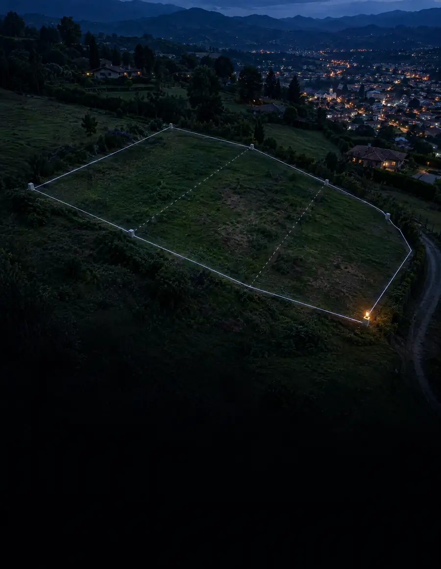
Lot merger and subdivision technical documentation
Reconfiguring a property takes precise technical documentation that accurately represents the new layout of the land and supports the corresponding planning procedures.
Request a consultationMerging or subdividing properties
The new layout of the land, precisely documented
At KAMON & CO. we prepare the technical documentation for lot mergers and subdivisions (englobe and desenglobe), producing drawings, area schedules and graphic representation based on the information provided by the client. These processes consolidate several properties into a single lot or divide a plot into new independent units, supporting development projects, sales, urbanization, permitting or land management. Properly prepared technical documentation reduces inconsistencies and makes the process with the competent authorities easier.
Illustrative exercise
Boundaries that merge and divide
Three neighboring properties are merged into a single lot, and that lot is subdivided into four. At every step the area schedule closes: the total does not change, the shape of the properties does. Illustrative dimensions and areas.
| Frontage | Area | |
|---|---|---|
| Property A | 16 m | 416 m² |
| Property B | 14 m | 364 m² |
| Property C | 18 m | 468 m² |
| Area check | 1,248 m² |
| Frontage | Area | |
|---|---|---|
| Merged lot | 48 m | 1,248 m² |
| Area check | 1,248 m² |
| Frontage | Area | |
|---|---|---|
| Lot 1 | 13 m | 338 m² |
| Lot 2 | 11 m | 286 m² |
| Lot 3 | 12 m | 312 m² |
| Lot 4 | 12 m | 312 m² |
| Area check | 1,248 m² |
Illustrative · 26 m depth on every property.
Scope
What does the service include?
- 01
Review
- Review of the documentation provided
- Preliminary analysis of the available information
- 02
Representation
- Graphic representation of boundaries
- Identification of the resulting new lots
- 03
Areas
- Area schedules
- 04
Supporting documents
- Digital files for documentary support
- BIM-compatible when required
6
Components of the technical documentation, from reviewing the information provided to the digital files that support the procedure.
Advantages
Why document your property with ?
Clear documentation
Clear, organized technical documentation that accurately represents the new layout of the property.
Fewer errors
Drawings prepared to high precision standards that reduce errors in the graphic documentation.
Smoother procedures
Information organized to make planning procedures easier to prepare.
BIM-ready
Integration with BIM workflows and information ready for the later stages of the project.
Close support
Personal attention throughout the service and remote work nationwide when the scope allows.
Applications
Who is it for?
- 01Engineers
- 02Architects
- 03Contractors
- 04Property owners
- 05Planning consultants
- 06Real estate developers
- 07Real estate companies
- 08Public and private organizations
Process
Our methodology
- Step 01Documents
- Step 02Review
- Step 03Boundaries
- Step 04Resulting lots
- Step 05Area schedule
- Step 06Quality control
- Step 07Digital delivery
Frequently asked questions
What is the difference between a merger and a subdivision?
A merger (englobe) joins two or more properties into a single lot, while a subdivision (desenglobe) divides a property into two or more independent lots.
When is a lot merger used?
A merger is the technical integration of two or more independent properties into a single lot. It is common in real estate developments, extensions, public facilities, industrial projects and urban planning processes.
When is a subdivision used?
A subdivision is the technical division of a property into two or more independent lots, in line with the applicable planning regulations. It is typically used for urbanization, partial land sales, inheritances, real estate developments or projects that need new legally independent lots.
Which documents do I need?
Ideally a georeferenced topographic survey, a cadastral or property plan, the public deed, the certificate of title (when applicable), available cadastral information, official coordinates if any, and any other information related to the project.
Do you carry out topographic surveys?
Not directly. If the project requires one, we can recommend or coordinate the service with specialist partners.
Can I hire the service before I have a topographic survey?
Yes, but the final technical documentation will normally require an up-to-date, reliable topographic survey.
Can you work with DWG or PDF files?
Yes, as long as the information provided is precise enough to produce the technical documentation.
Does the service include filing with the authorities?
No. KAMON & CO. prepares the technical documentation that supports the procedure. Filing, approval and registration are the responsibility of the competent authorities and entities.
How long does it take, and do you work outside Antioquia?
Yes, we work in other regions: when the available documentation allows, we provide the service remotely across Colombia. The timeline depends on the size of the property and the information available, or on the date the client needs: we assess the scope and confirm in the quote whether it can be met. We reply to every inquiry in under 24 business hours, and the formal quote takes 1 to 2 business weeks from the moment we receive the complete information.
What comes after the merger or subdivision?
Depending on the project, the next step may be a zoning analysis, architectural design, planning permits, BIM modeling or the technical development of the proposal.